SPECIAL SESSION #17
The digital transition of micro-analytical investigations: the new frontier of quantitative data extraction from geomaterials
ORGANIZED BY
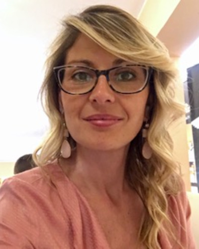
Cristina Maria Belfiore
Department of Biological, Geological and Environmental Sciences - University of Catania, Italy
Gaetano Ortolano
Department of Biological, Geological and Environmental Sciences - University of Catania, Italy
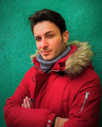
Roberto Visalli
Department of Biological, Geological and Environmental Sciences - University of Catania, Italy
ABSTRACT
Nowadays, many different micro-analytical techniques are routinely used for geoscience applications. Each method is mainly based on a particular physical property (e.g., optical microscopy reflection/refraction, cathodoluminescence, backscattered or secondary electron refraction, X-ray fluorescence, energy or wavelength dispersive microanalysis, Raman effect, and so on), and its choice is based on the characteristics of the materials to be highlighted.
All these instruments are equipped with advanced digitalization systems capable of transforming the acquired signals into numerical grids with pixel values proportional to the specific parameter measured for that technique.
The digital format of these images has allowed the proliferation of more or less automated procedures for extrapolating more or less quantitative parameters, useful in constraining specific characteristics of the material under investigation.
This digital transition opens up the possibility of handling these numerical grids by employing multivariate statistical analysis followed by supervised or unsupervised classification techniques and, more recently, machine learning algorithms accompanied by very performant AI-driven object recognition.
These new elaboration systems are allowing, in turn, the development of sophisticated knowledge management systems designed to ensure the efficient organization and sharing of derived data, also guaranteeing that geoscientific data can be accessed and shared seamlessly, so enhancing collaboration among researchers worldwide.
In this view, the session will foster dialogue between researchers and possibly also hardware/software companies interested in the development of tools and processing methods for quantitative image analysis derived from different analytical techniques, encouraging all those interested to submit methodological and/or applied work on various case studies that are based on quantitative image analysis of geomaterials.
ABOUT THE ORGANIZERS
Cristina Maria Belfiore is Associate professor for the disciplinary sector 04/A1 - Geochemistry, Mineralogy, Petrology, Volcanology, Georesources and Applications - scientific sector GEOS-01/D “Georesources and minero-petrographic applications for the environment and cultural heritage” at the Department of Biological, Geological and Environmental Sciences of the University of Catania (Italy), where she teaches “Mineralogy and rock constituents” and “Georesources for cultural heritage and the environment”.
Over the years, she took part actively to national and international research projects and attended numerous conferences and congresses, often as speaker and convener of thematic sessions.
Her research activity is mainly focused on the application of mineralogical-petrographic and geochemical techniques to the study of cultural heritage, with particular regard to the characterization and conservation of natural and artificial stone materials and ceramic artifacts of archaeological interest.
She is member of societies and groups actively working in the fields of mineralogy and petrology, archaeometry, cultural heritage and geosciences.
Her expertise and scientific background are reflected in more than 150 scientific publications in national and international peer-reviewed journals, monographs, and proceedings of national and international conferences. She is also reviewer for several top journals in the fields of competence.
Gaetano Ortolano is Associate professor for the disciplinary sector 04/A1 - scientific sector GEO07 - Petrology and petrography from 31/12/2021 at the Department of Biological, Geological and Environmental Sciences of the University of Catania (Italy), where he teaches Metamorphic Geology since 2009 and IT application for Geosciences since 2016. He recently teaches also Geomatics applied to the valorization of geo-resources and geo-tourism in the Master's Degree in Design of Sustainable Cultural and Nature-based Tourism since 2025. He recently took the national scientific qualification for full professor in the sector 04/A2 (SSD GEO/03) Structural Geology from 10/03/2025, while he had the national scientific qualification for associate professor in the sector 04/A1 (SSD GEO/07) Petrology and Petrography, from 10/04/2017. He is also a certified expert in remote sensing and GIS and his scientific activity span from the thermodynamic modeling and calculation of phase diagrams of metamorphic systems, the geological-structural and microstructural analysis of metamorphic rocks, the production of geological-structural and petrochemical maps on GIS platform. Furthermore he is author of different software and tools for image analysis of X-ray maps aimed at minerals and stone materials classification as well as developer of innovative geomatic tools for the Earth Sciences. He is an active members of national and international scientific societies in the field of structural, microstructural and petrological studies and he is author of 69 papers and several others extended and short abstracts presented in different scientific congress since 2002. He also editing two special issues in the field of microstructural analysis and petrology in highstand journals and reviewers for several top journals in the fields of competence.
Dr. Roberto Visalli is a research fellow at the Department of Biological, Geological and Environmental Sciences of the University of Catania, in a project having as its main theme the development and application of image analysis techniques for the automatic characterization of the texture and composition of volcanic rocks from the Marsili volcano. Specialized in semantic and instance segmentation, his research topics range from the characterization of mortars and ceramics used in Cultural Heritage for the quantification of hydraulic indices through image analysis; to quantitative image analysis applied to samples of sedimentary, volcanic and metamorphic rocks; to the characterization, mapping and analysis of asbestos present in nature; and the development and implementation of innovative image analysis methods. His skills in image analysis are also applied in research aimed at reconstructing pressure-temperature-strain-time paths recorded by crystalline basements through thermodynamic modeling; kinematic analysis of vorticity on mylonitic rocks; and paleopiezometric analyses for the definition of deformation rates. He has developed several software and Python scripts, based on ArcGIS, aimed at the semi-automatic classification of mineral phases from X-ray maps (Quantitative X-ray Map Analyzer) and for the automatic digitization of thin section grains from high-resolution optical images (Microfabric Analyzer).


